Atlantic
| Title | Description |
|---|---|
| The Atlantic hurricane season runs from June 1st through November 30th. | The Atlantic hurricane season runs from June 1st through November 30th. |
Eastern Pacific
| Title | Description |
|---|---|
| The Eastern North Pacific hurricane season runs from May 15th through November 30th. | The Eastern North Pacific hurricane season runs from May 15th through November 30th. |
Atlantic Map

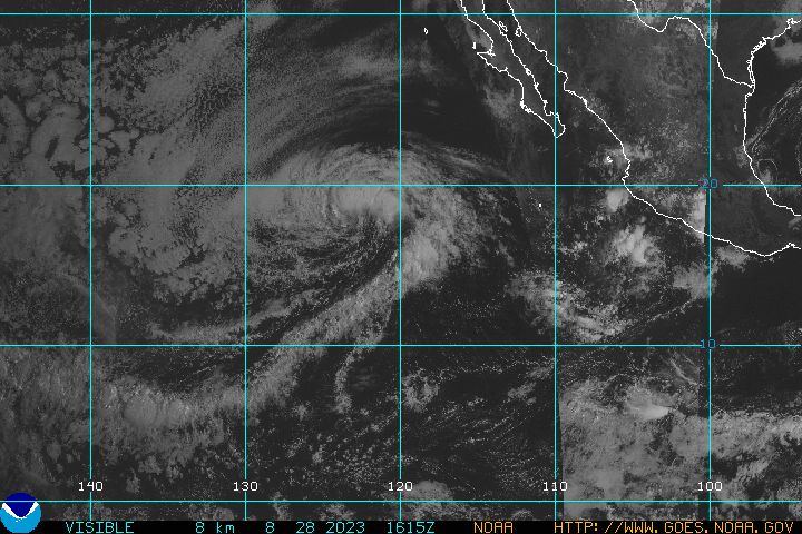
Eastern Pacific Map
Rowlo
Copyright © 2003-2025 by Jeff Rowland
All Rights Reserved.
Site Design: Jeff Rowland